Why we tide-window coastal LiDAR flights (and what it costs you if we don't)
An erosion baseline is only repeatable if every epoch captures the same beach. That means flying to the tide table, not the calendar.
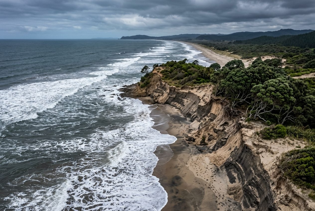
A coastal erosion baseline lives or dies on repeatability. If epoch one is flown at mid-tide and epoch two at spring low, the surface-difference model will show a few thousand cubic metres of "change" that is really just water.
So we plan coastal work backwards from the tide table.
The window we fly
- Target: ±90 minutes either side of predicted low water.
- Preference: spring lows for maximum exposed foreshore, within the project's swell and wind limits.
- Hard limit: wind ≤ 20 kt sustained for the VTOL platform, and no rain in the previous two hours — wet sand changes LiDAR intensity and photogrammetry texture.
A 14 km stretch of open coast is three flights. Three flights at ~45 minutes each is a tight fit in one window, which is why the ground crew is briefed to turn aircraft, not to make coffee.
Control that survives the sea
PPK/RTK gets us to centimetre-level positioning, but a dune toe does not have a LINZ benchmark on it. We tie each epoch to the same permanent marks inland and place temporary checkpoints on hard surfaces — boat ramps, culvert headwalls, carpark kerbs — so the vertical datum is identical between epochs.
What you get
- Bare-earth DTM per epoch (dune vegetation classified out).
- Orthomosaic at 2–3 cm GSD for visual change detection.
- Surface-difference model between epochs with volume gain/loss by cell.
- Cliff-edge and dune-toe lines extracted as
.DXFfor the hazard overlay.
Use the free tools first
Before you commission a flight, run the site through our pre-flight check for wind and METAR, and sketch the survey area on the airspace map. If a controlled-airspace boundary clips the beach we will need a CAA authorisation lead time, and that moves the tide window.